We have collected some of the most useful Carlsbad Caverns Maps. Maps include Carlsbad Caverns overview, topographical, caves, trails, and popular sights. Click on the maps below to see them in a larger view.
Carlsbad Caverns Maps
-
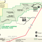
- Carlsbad Caverns Overview Map
-
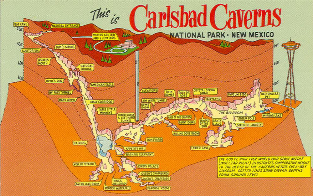
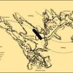
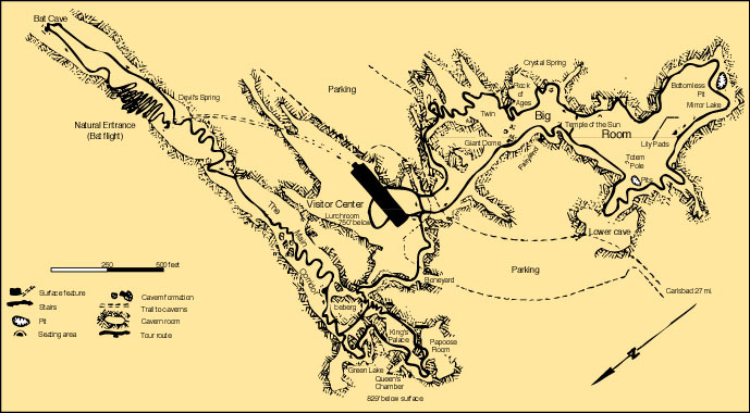
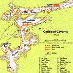
- Carlsbad Caverns Cave Map
-

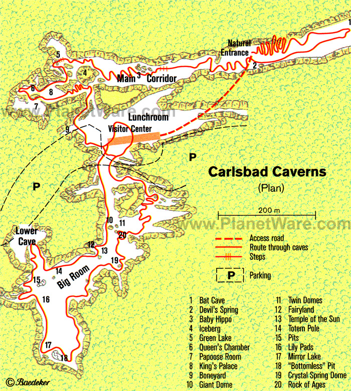
- Map of Carlsbad Caverns

-
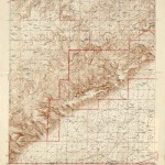
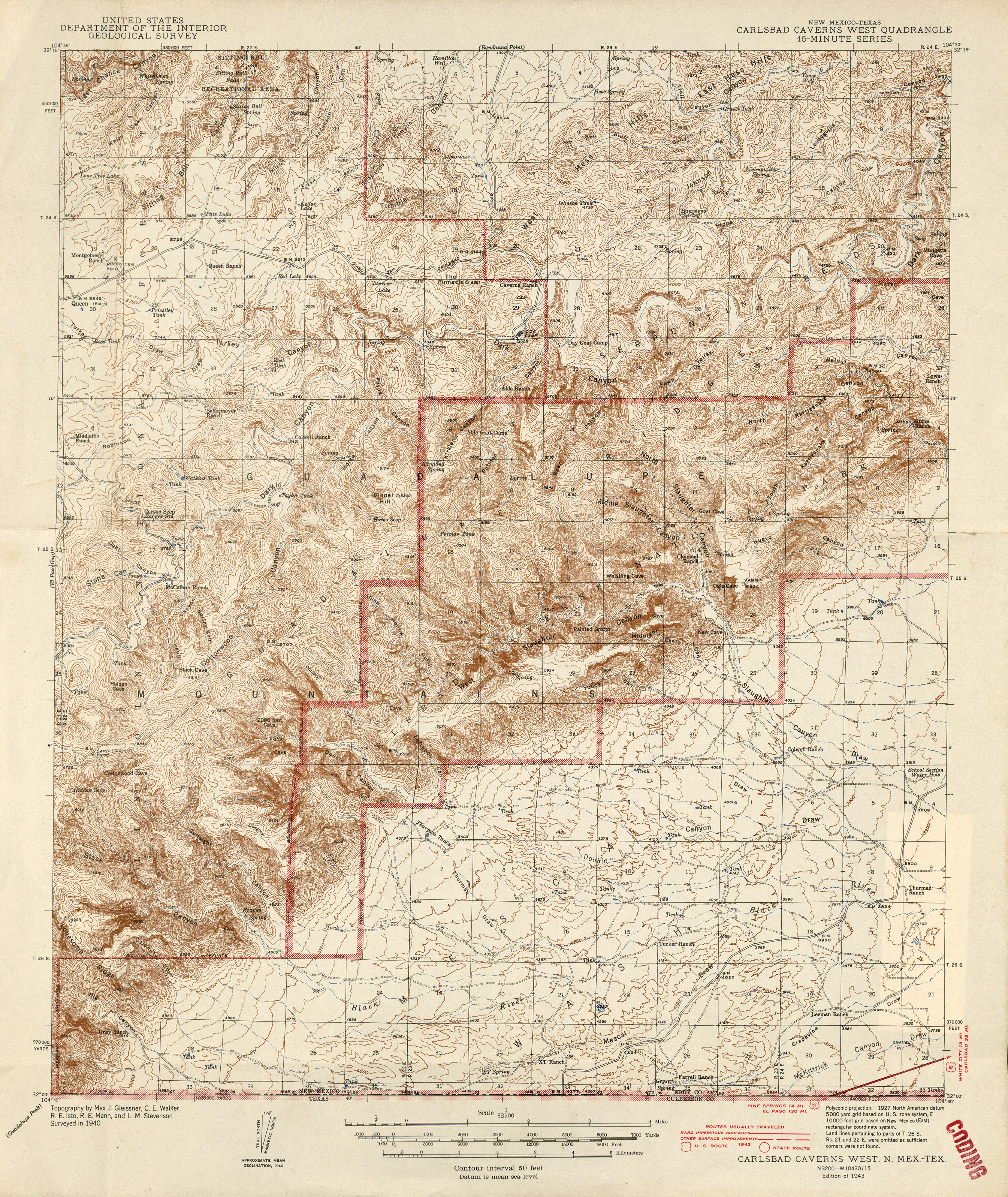
- Carlsbad Caverns Topo Map
-
- Carlsbad Caverns Trails
-
- Carlsbad Caverns Sights Map
View Map of Carlsbad Caverns in Google Maps
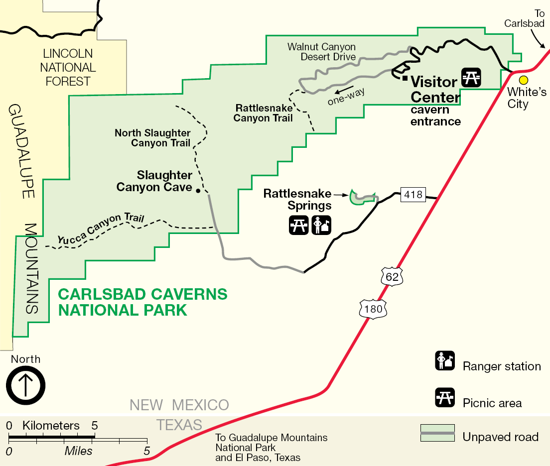
Carlsbad Caverns National Park‘s only entrance road, NM Highway 7, intersects US Hwy 62/180 at White’s City, NM. White’s City is 20 miles southwest of Carlsbad, NM and 145 miles northeast of El Paso, Texas. The entrance road stretches a scenic 7-miles from White’s City to the visitor center and cavern entrance.
Driving Distance (in miles)
- Albuquerque, NM – 304
- Roswell, NM – 103
- Las Cruces, NM – 197
- El Paso, TX – 151
- Lubbock, TX – 206
- Midland/Odessa, TX – 180
More Information about Carlsbad Caverns National Park